How it fits together
Observe. Validate. Preserve. Record. Exchange. Deliver.
Each part of the platform has one clear role, from the first field measurement to the record your operations, insurance, and GIS teams rely on.
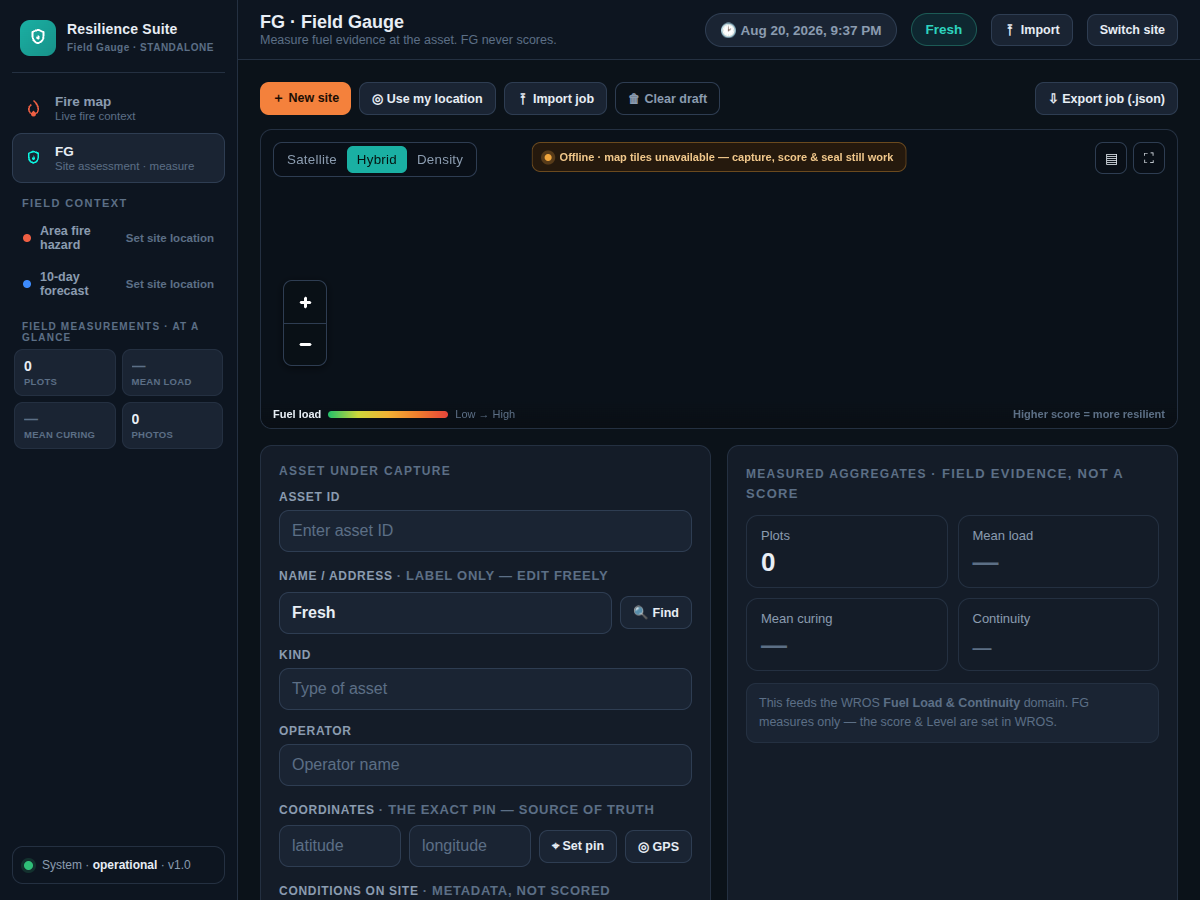
Observe
Field Gauge
Field capture on a phone or tablet: site photos, measurements, and local conditions, recorded on site and kept even when offline.
Field Gauge →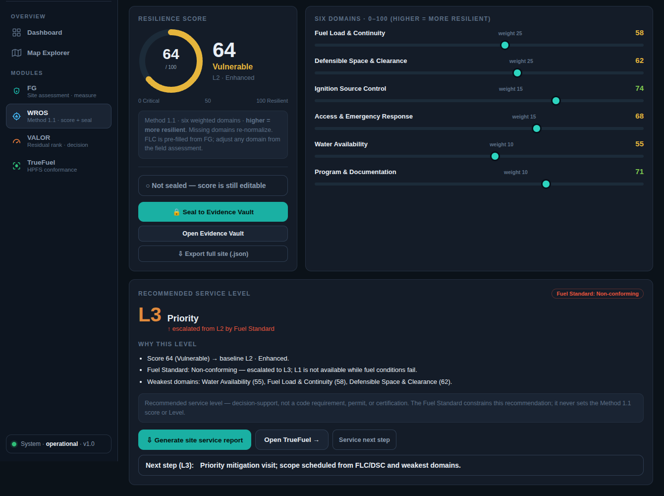
Validate
RiskWise™ methodology
The measurement methodology behind every result: condition scoring with stated confidence, conformance checks on measured plots, and exposure ranking for decision support.
RiskWise methodology →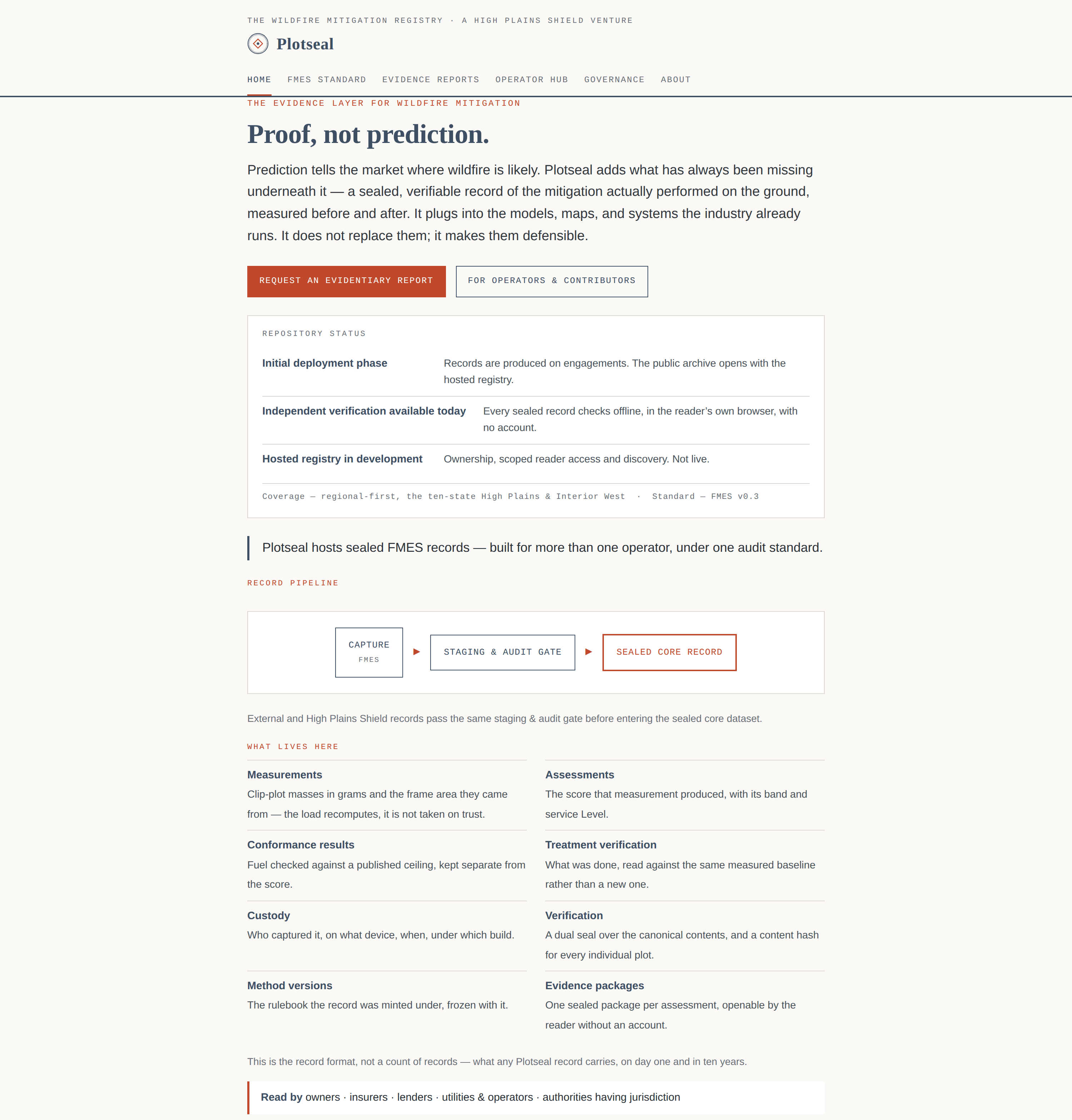
Preserve
PlotSeal™ registry
The registry and provenance layer that seals each record so its integrity can be checked independently. External site.
PlotSeal site ↗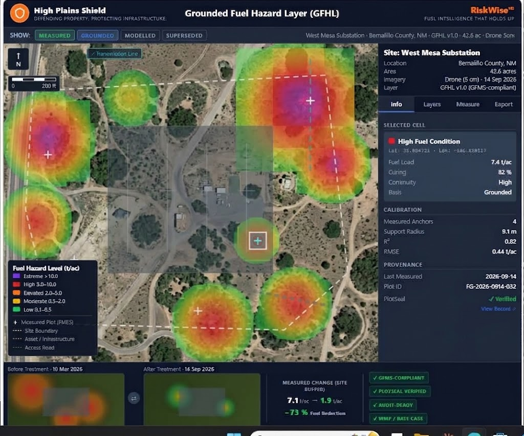
Record and exchange
Wildfire Condition Record
The authoritative record of measured conditions at a site, shared through the Wildfire Condition Record Exchange Standard so other systems can read it.
Wildfire Condition Record →